
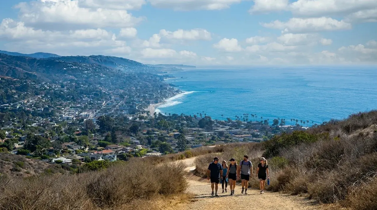
Orange County gets typecast as a beach-and-mall kind of place, and sure, it’s that too. But tucked behind the freeways and tract homes is a genuinely serious trail network, coastal bluffs, oak-shaded canyons, and a real mountain range with a 5,689-foot summit.
We rounded up the best hikes in the county across every difficulty level, from a flat half-mile stroll under redwoods to a full-day mountain climb that isn’t for beginners.
One important note before you lace up: trail conditions in the Santa Ana Mountains have changed a lot since the 2024 Airport Fire.
A few of the county’s most iconic hikes, including the route to its highest peak, have been closed for trail and habitat recovery. We’ve flagged that clearly below so you don’t drive an hour to a locked gate.
Quick Answer: Best OC Hikes by Level
- Best easy hike: El Moro Canyon Loop, Crystal Cove State Park
- Best easy hike for families: Irvine Regional Park Trail, Orange
- Best moderate hike with a view: Top of the World, Laguna Beach
- Best moderate hike for something different: Red Rock Canyon via Whiting Ranch, Lake Forest
- Best difficult hike currently open: Sierra Peak, Anaheim Hills / Corona border
- The county’s toughest hike (currently closed): Santiago Peak via Holy Jim Trail
Easy Hikes: Good for Any Fitness Level
El Moro Canyon Loop (Crystal Cove State Park)
This 3.3-mile loop is one of the most popular hikes in the county, and it earns that popularity honestly.
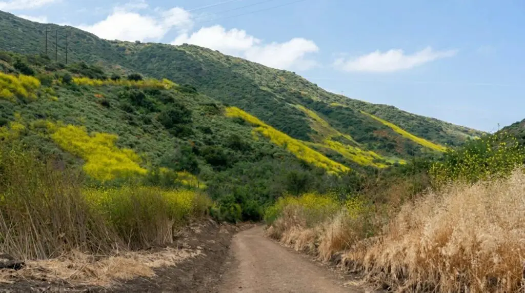
The trail winds through a coastal canyon within Crystal Cove State Park, mixing sage scrub, seasonal wildflowers, and rolling terrain that never gets seriously steep.
It’s an easy hike start to finish, which makes it a great option if you want a real trail experience without a real workout.
- Distance: 3.3 miles, loop
- Where: Crystal Cove State Park, between Newport Coast and Laguna Beach
- Good to know: If you’re making a day of it, the beach side of Crystal Cove is just as good a reason to visit. Our guide to the best beaches in Orange County covers Crystal Cove’s coastline in more detail.
Irvine Regional Park Trail (Orange)
Irvine Regional Park is California’s oldest county park, and the trail network inside it reflects that history: gentle, rolling dirt and paved loops winding through heritage coast live oaks and sycamores.
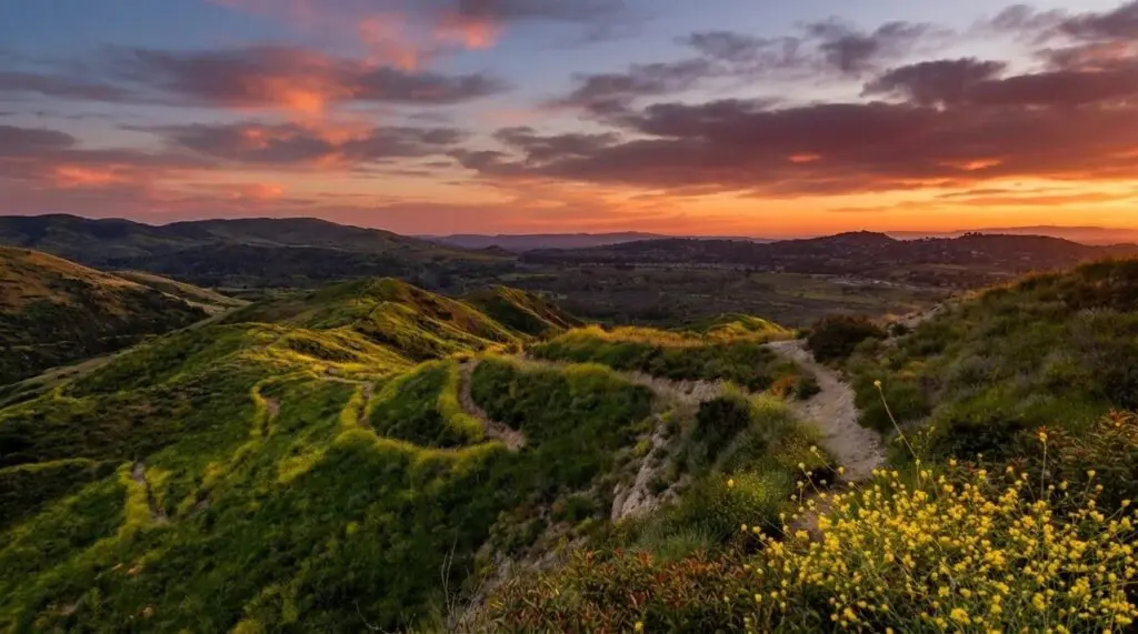
Wild peacocks roam the grounds, which makes this one a genuine crowd-pleaser for kids. Expect sandstone outcroppings, shaded stretches, and views of the surrounding foothills without any serious elevation gain.
- Distance: Varies by loop, most options under 3 miles
- Where: 1 Irvine Park Rd, Orange
- Good to know: There’s a small vehicle entry fee on weekends, and the park connects to the broader Santiago Oaks/Anaheim Hills trail system if you want to extend your walk.
Carbon Canyon Regional Park Redwood Grove (Brea)
Here’s a genuine surprise in North County: a lush, quiet grove of coastal redwoods, planted decades ago, along a flat, easy 1.1-mile path that feels nothing like the rest of Orange County.
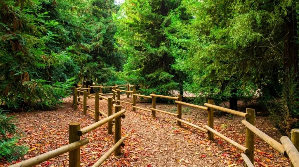
It’s short, shaded, and about as peaceful as hiking gets around here.
- Distance: 1.1 miles, flat
- Where: Carbon Canyon Regional Park, 4442 Carbon Canyon Rd, Brea
Peters Canyon Lake View Loop (Irvine)
A well-maintained, easy loop around Upper Peters Canyon Reservoir, popular with both hikers and trail runners.
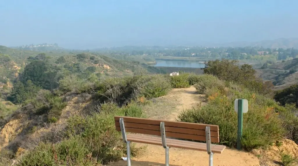
The lake view alone makes it worth the trip, and the flat, wide path means it’s an easy sell for a family outing or a first-timer.
- Distance: About 2.6 miles, loop
- Where: Peters Canyon Regional Park, Irvine
- Good to know: If you want more of a workout, the East Ridge Loop extension adds real elevation gain and bumps this one into moderate territory.
Moderate Hikes: A Real Workout, Still Approachable
Top of the World (Laguna Beach)
Top of the World is the hike most locals recommend first when someone asks for a moderate option with a payoff view, and it’s easy to see why.
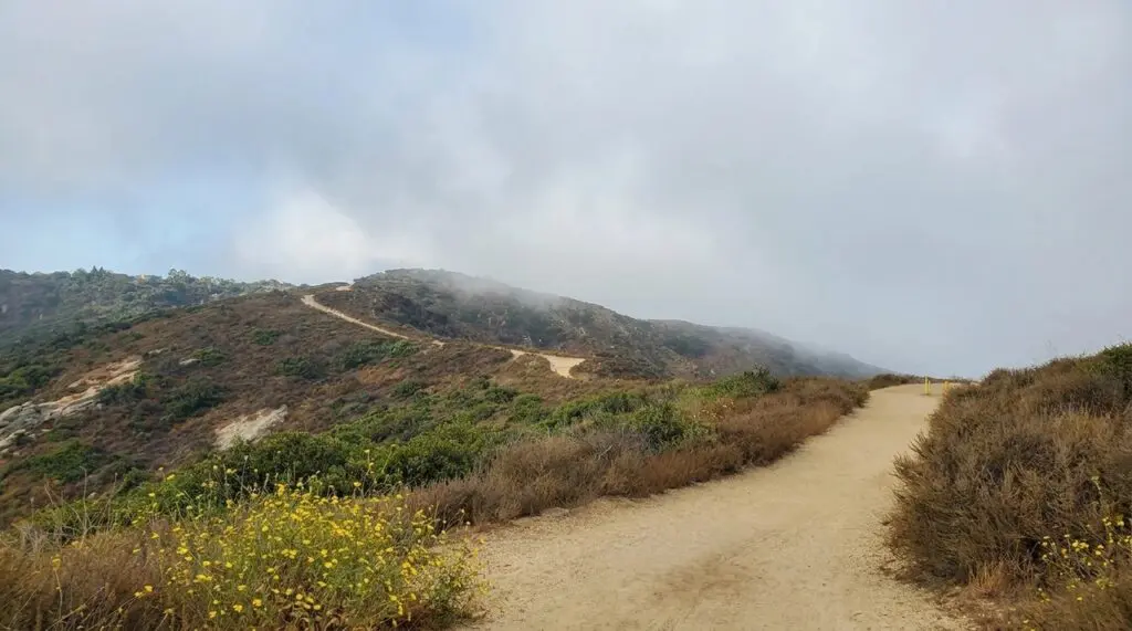
This 2.27-mile out-and-back climbs about 862 feet through Aliso and Wood Canyons Wilderness Park to a hilltop overlooking Laguna Beach, the coastline, and on a clear day, a long stretch of the Pacific.
- Distance: 2.27 miles, out and back
- Elevation gain: About 862 feet
- Where: Trailhead off Canyon Acres Drive, Laguna Beach
- Good to know: Parking is limited and mostly street-side near the trailhead, so get there early on weekends.
Red Rock Canyon via Whiting Ranch Wilderness Park (Lake Forest)
This one delivers a landscape you don’t expect to find in Orange County: a sandstone canyon with distinctive red walls that genuinely looks more like Arizona than Southern California.
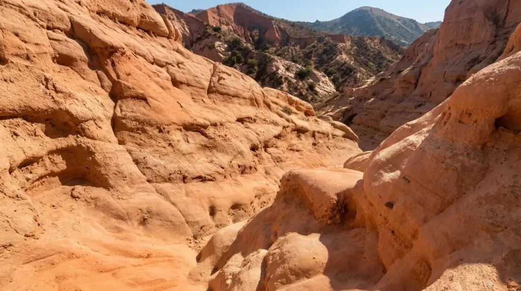
The hike starts at the Borrego Staging Area, stays shaded for the first stretch, then opens into full sun for the second half. Barriers now protect the most fragile rock formations from erosion, but the views are still striking.
- Distance: About 4 miles, out and back
- Where: Borrego Staging Area, Whiting Ranch Wilderness Park, Lake Forest
- Cost: $3 parking fee
- Good to know: Avoid this one in the middle of a summer day. There’s no shade past the halfway point, and it gets hot fast.
Weir Canyon Trail Loop (Anaheim Hills)
A popular 3.4-mile loop through Anaheim Hills with rolling terrain and genuinely good views back over the canyon.
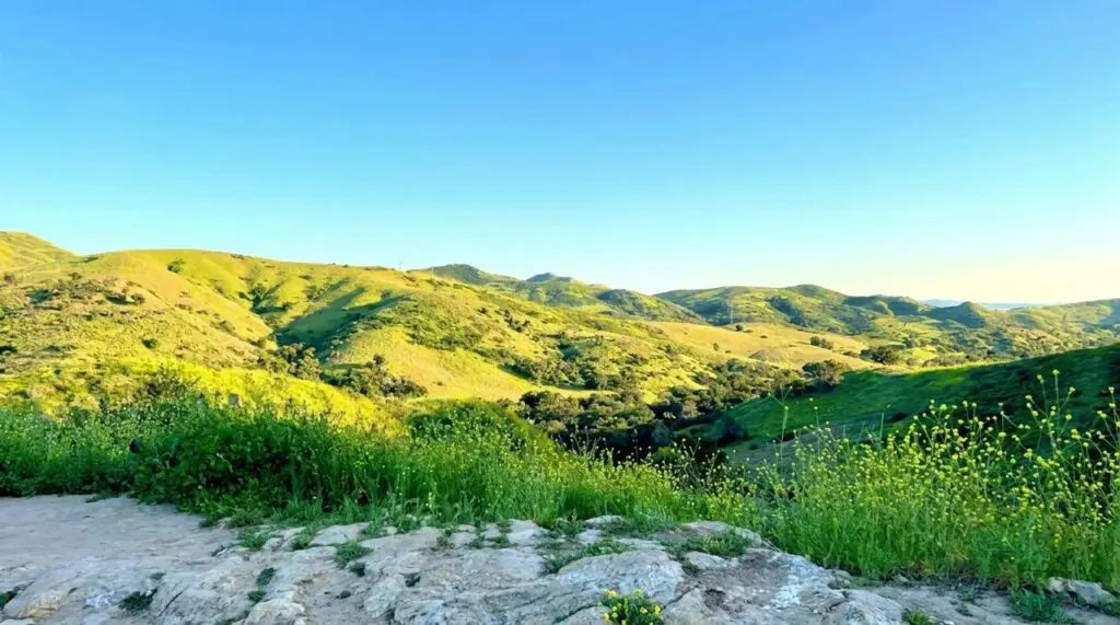
It’s a solid step up from a flat park walk without venturing into difficult territory.
- Distance: 3.4 miles, loop
- Where: Weir Canyon Wilderness Park, Anaheim Hills
Difficult and Expert Hikes
Santiago Peak via Holy Jim Trail (Currently Closed)
For years, this has been the single toughest, most talked-about hike in Orange County, and if you’ve heard OC hikers mention “Saddleback” or “Old Camp,” this is the trail they’re talking about.
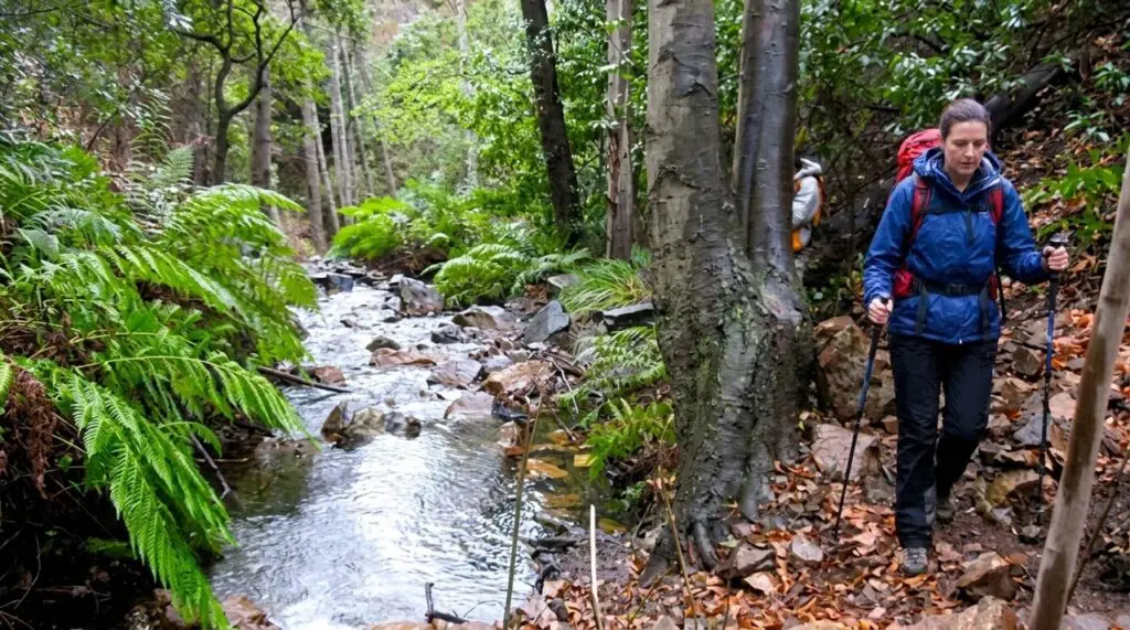
At 5,689 feet, Santiago Peak is the highest point in the county and in the entire Santa Ana Mountains, with views stretching to Catalina Island, the Inland Empire, and on the clearest days, San Gorgonio and San Jacinto.
The classic route runs about 15.5 to 16 miles round trip via Holy Jim Trail, climbing roughly 4,000 to 4,500 feet along the way, past Holy Jim Falls and up onto Main Divide Road before the final push to the summit.
It’s a genuine full-day effort that demands real fitness, several liters of water, and an early start.
Here’s the critical part: this trail is currently closed. The 2024 Airport Fire burned through much of this area, and the U.S. Forest Service has an active closure order on Holy Jim Trail, Holy Jim Falls, and the surrounding Cleveland National Forest land, officially in effect through at least May 23, 2026, for habitat recovery and public safety.

Multiple trail-tracking sites still show it marked closed as of this writing. Before you plan a trip here, call the Trabuco Ranger District directly or check the Cleveland National Forest’s alert page, since a fire closure like this can extend past its original end date.
- Distance: ~15.5-16 miles round trip
- Elevation gain: ~4,000-4,500 feet
- Status: Closed due to 2024 Airport Fire damage, confirm current status before attempting
- Trailhead: Holy Jim Trailhead, Trabuco Creek Rd, Corona, CA 92883 (high-clearance vehicle recommended for the access road)
Sierra Peak (Anaheim Hills / Corona Border)
With Santiago Peak closed, Sierra Peak is the best legitimately difficult hike currently open in the area, and it’s a serious undertaking in its own right.
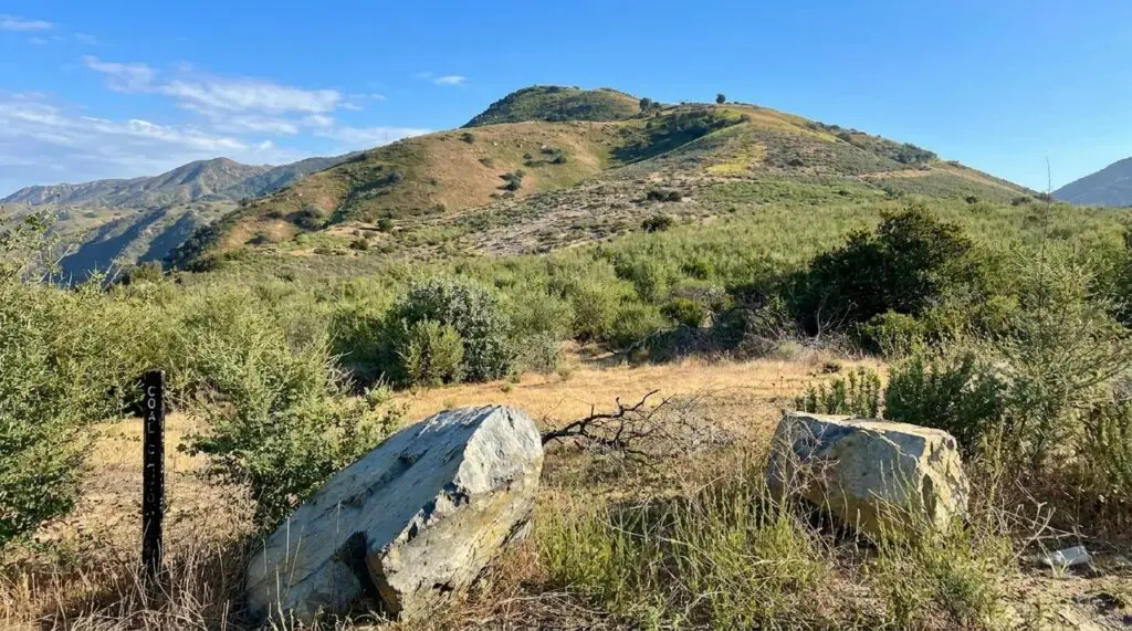
This fire-road climb tops out at a radio tower-covered summit in the Santa Ana Mountains, familiar to anyone who’s driven the 91 through Santa Ana Canyon and noticed the antenna cluster on the hill north of Green River Road.
Routes vary, but most hikers take it as a 12+ mile loop combining the Skyline Trail, Coal Canyon Trail, and Pipeline Trail, with somewhere around 2,700 feet of elevation gain.
It’s fully exposed for most of the route, so this is strictly an early-start, plenty-of-water kind of hike, and the descent on some of the steeper connector trails can be as tough on your legs as the climb up.
- Distance: Roughly 12-16 miles depending on route
- Elevation gain: Around 2,700 feet
- Where: Trailhead access from Green River Road, Anaheim Hills / Corona border
- Good to know: Some connecting trails deeper into Silverado Canyon remain closed from the Airport Fire, so stick to the established Coal Canyon/Skyline/Pipeline route rather than improvising a shortcut.
Comparing Your Options at a Glance
| Hike | Distance | Difficulty | Best For |
|---|---|---|---|
| El Moro Canyon Loop | 3.3 mi | Easy | Coastal scenery, low effort |
| Irvine Regional Park Trail | Under 3 mi | Easy | Families, wildlife, shade |
| Carbon Canyon Redwood Grove | 1.1 mi | Easy | A quick, peaceful walk |
| Peters Canyon Lake Loop | 2.6 mi | Easy | Lake views, flat terrain |
| Top of the World | 2.27 mi | Moderate | Best view-to-effort ratio |
| Red Rock Canyon (Whiting Ranch) | ~4 mi | Moderate | Unique desert-like scenery |
| Weir Canyon Trail Loop | 3.4 mi | Moderate | A step up without going extreme |
| Sierra Peak | 12-16 mi | Hard | Serious hikers, currently open |
| Santiago Peak via Holy Jim | 15.5-16 mi | Expert | OC’s highest point, currently closed |
Hiking Tips for Orange County’s Terrain
A few things that make any of these hikes go smoother:
- Start early, especially in summer. Most OC trails offer little to no shade past the first mile, and inland canyon temperatures climb fast by mid-morning.
- Bring more water than you think you need. For anything over 4 miles, 2-3 liters per person is a reasonable minimum, more on hot days or longer routes.
- Watch for rattlesnakes and poison oak. Both are common across Orange County’s canyon and foothill trails, especially in spring and early summer.
- Bring an Adventure Pass for Cleveland National Forest trailheads. Several trailheads, including those in the Santa Ana Mountains, require a National Forest Adventure Pass or National Parks Pass displayed in your vehicle.
- Check fire-closure status before a long drive. Given the scale of the 2024 Airport Fire, don’t assume a trail you hiked a few years ago is still open. A quick call to the Trabuco Ranger District or a check of the Cleveland National Forest alerts page saves a wasted trip.
Frequently Asked Questions
Santiago Peak, at 5,689 feet, is the highest point in Orange County and in the Santa Ana Mountains. It’s also known locally as Saddleback Mountain. The primary route to the summit via Holy Jim Trail is currently closed due to damage from the 2024 Airport Fire.
El Moro Canyon Loop in Crystal Cove State Park is one of the most popular easy hikes in the county, at 3.3 miles with minimal elevation gain and genuinely scenic coastal canyon terrain throughout.
As of this writing, no. The U.S. Forest Service closure covering Holy Jim Trail and the surrounding area is in effect through at least May 23, 2026, due to the 2024 Airport Fire. Confirm current status with the Trabuco Ranger District before planning a trip, since fire closures can be extended.
Sierra Peak, accessed from the Anaheim Hills / Corona border, is the toughest hike currently open, running roughly 12 to 16 miles with about 2,700 feet of elevation gain depending on the route.
Most county and regional parks (Whiting Ranch, Peters Canyon, Irvine Regional Park) don’t require a permit, though some charge a small parking fee. Trailheads inside Cleveland National Forest, including those in the Santa Ana Mountains, require a National Forest Adventure Pass displayed in your vehicle.
Many are, but it varies by park and trail. Some, like Top of the World, are dog-friendly, while others restrict dogs, especially those inside more sensitive wilderness areas. Check the specific trail’s rules before bringing a dog along.